
Places
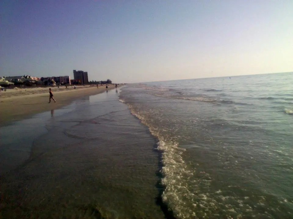
Indian Rocks Downwind
Indian Rocks Beach, United StatesStart:
Gulf waters off Indian Rocks Beach, Pinellas County, Florida, United States (approximate water start)
Gulf waters off Indian Rocks Beach, Pinellas County, Florida, United States (approximate water start)
Finish:
Gulf waters off St. Pete Beach, Pinellas County, Florida, United States (approximate water finish)
Gulf waters off St. Pete Beach, Pinellas County, Florida, United States (approximate water finish)
Distance:
22km
22km
Source wind: NW. Check surf, storms, inlet currents, boat traffic and permitted beach access. Both endpoints are offshore. Approximate image-derived route; not for navigation.
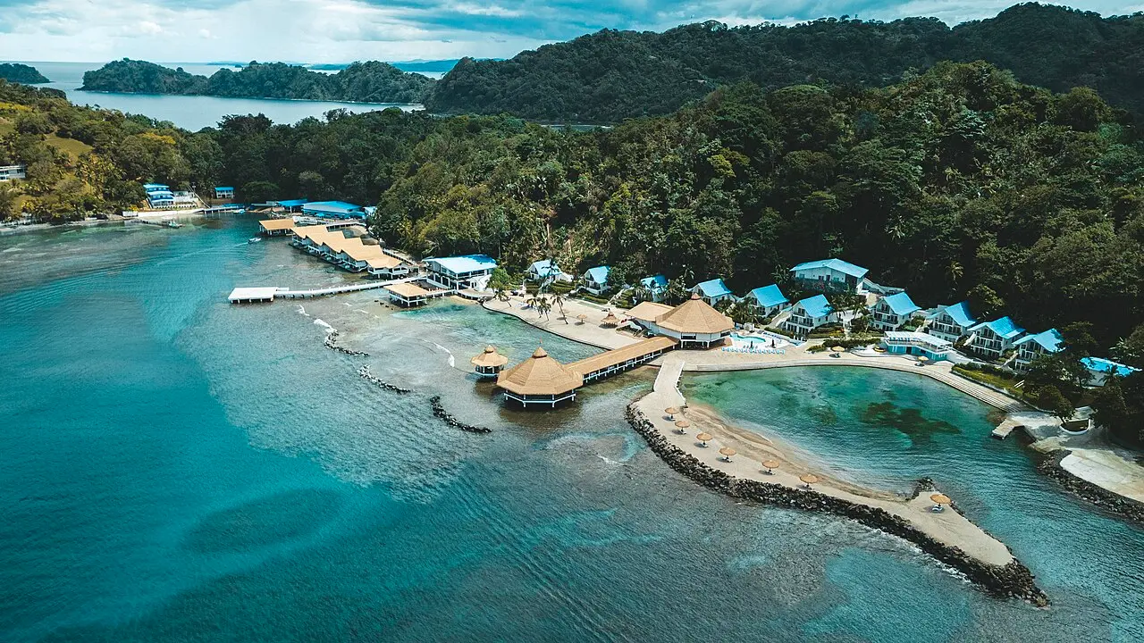
José del Mar to María Chiquita | Portobelo Coast
Portobelo, PanamaStart:
José del Mar coastal area, Portobelo District, Colón, Panama (approximate start)
José del Mar coastal area, Portobelo District, Colón, Panama (approximate start)
Finish:
María Chiquita coastal area, Portobelo District, Colón, Panama (approximate finish)
María Chiquita coastal area, Portobelo District, Colón, Panama (approximate finish)
Distance:
24km
24km
Source winds: N, NNE and NE. This 22 km line is an endpoint-only connector, not the mapped course. Verify shore access, reef passages, tides, swell, currents, traffic and weather; not for navigation.
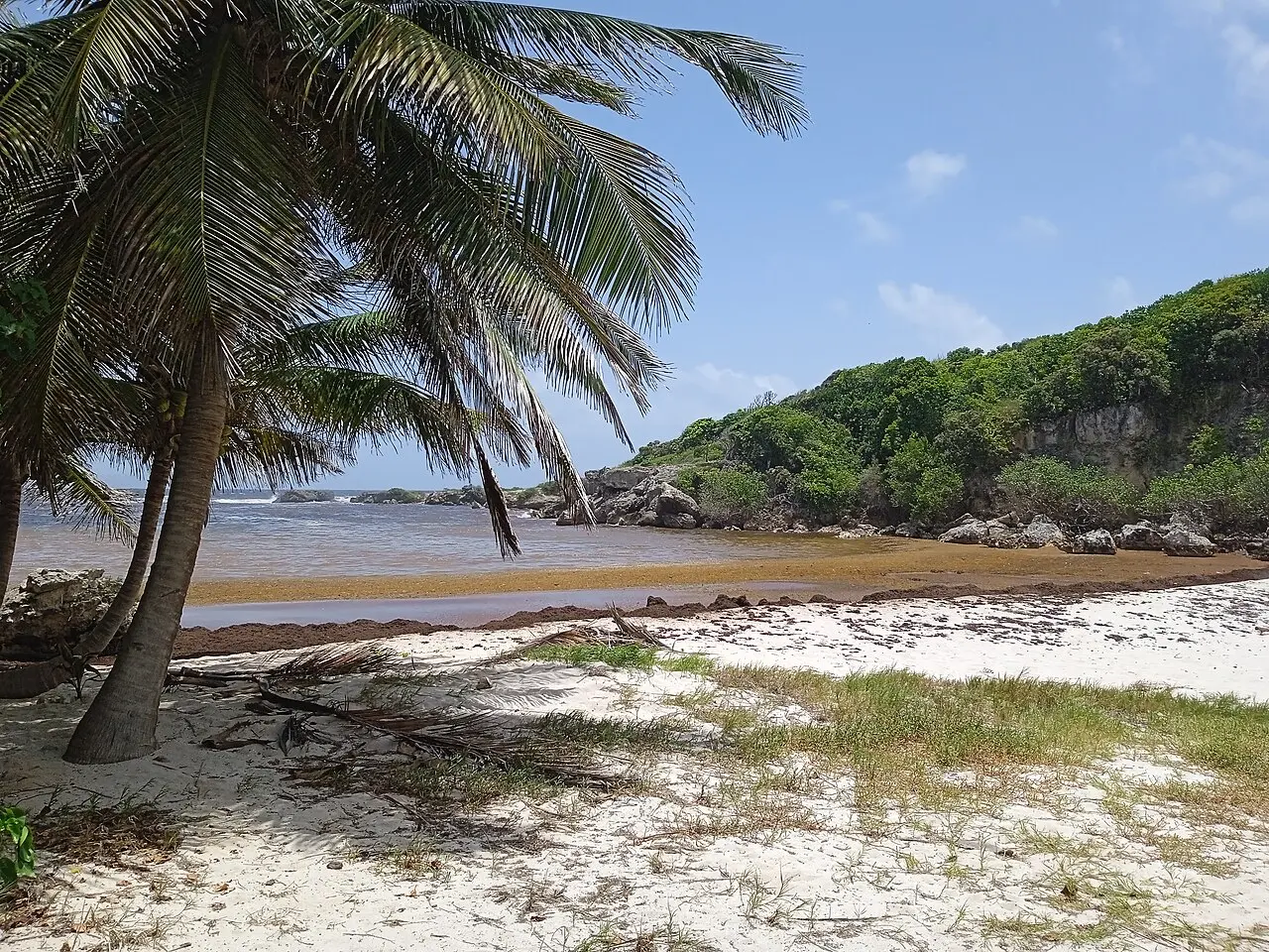
Karukera Downwind
Saint-François, FranceStart:
Saint-François shoreline, Grande-Terre, Guadeloupe, France (approximate start)
Saint-François shoreline, Grande-Terre, Guadeloupe, France (approximate start)
Finish:
Le Gosier shoreline, Grande-Terre, Guadeloupe, France (approximate finish)
Le Gosier shoreline, Grande-Terre, Guadeloupe, France (approximate finish)
Distance:
24km
24km
Source wind: E. The plotted line crosses mapped reef; verify passages, tides, swell, currents, traffic, weather and shore access. Approximate reconstruction, not for navigation.
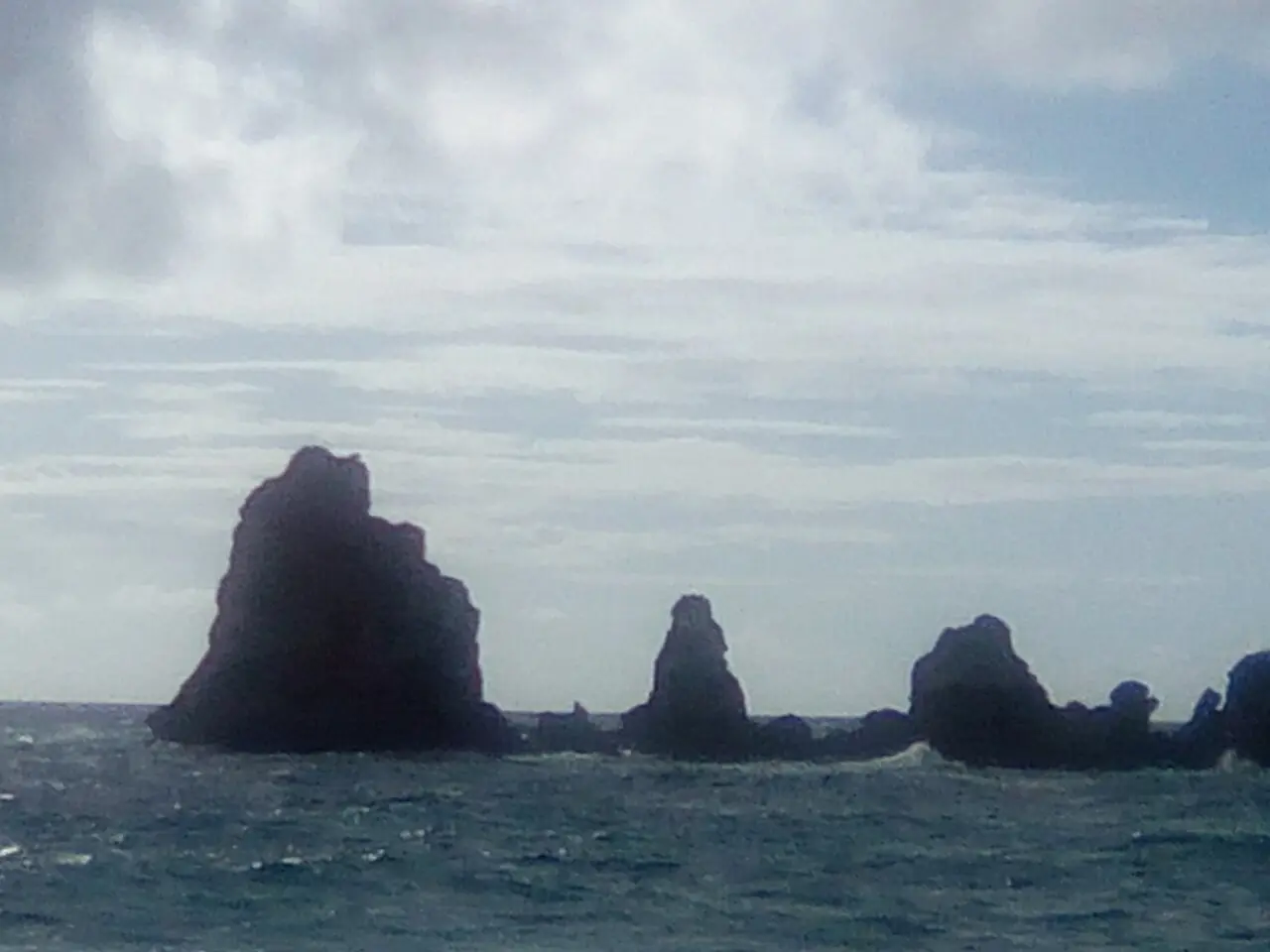
Karukera Senfanswa Downwind
Saint-François, FranceStart:
Pointe des Châteaux coastal area, Saint-François, Guadeloupe, France (approximate start)
Pointe des Châteaux coastal area, Saint-François, Guadeloupe, France (approximate start)
Finish:
Saint-François harbour shoreline, Guadeloupe, France (approximate finish)
Saint-François harbour shoreline, Guadeloupe, France (approximate finish)
Distance:
14km
14km
Source wind: E. This exposed coastal crossing is only a visual approximation. Confirm access, reef passages, tides, swell, currents, vessel traffic and weather locally; not for navigation.
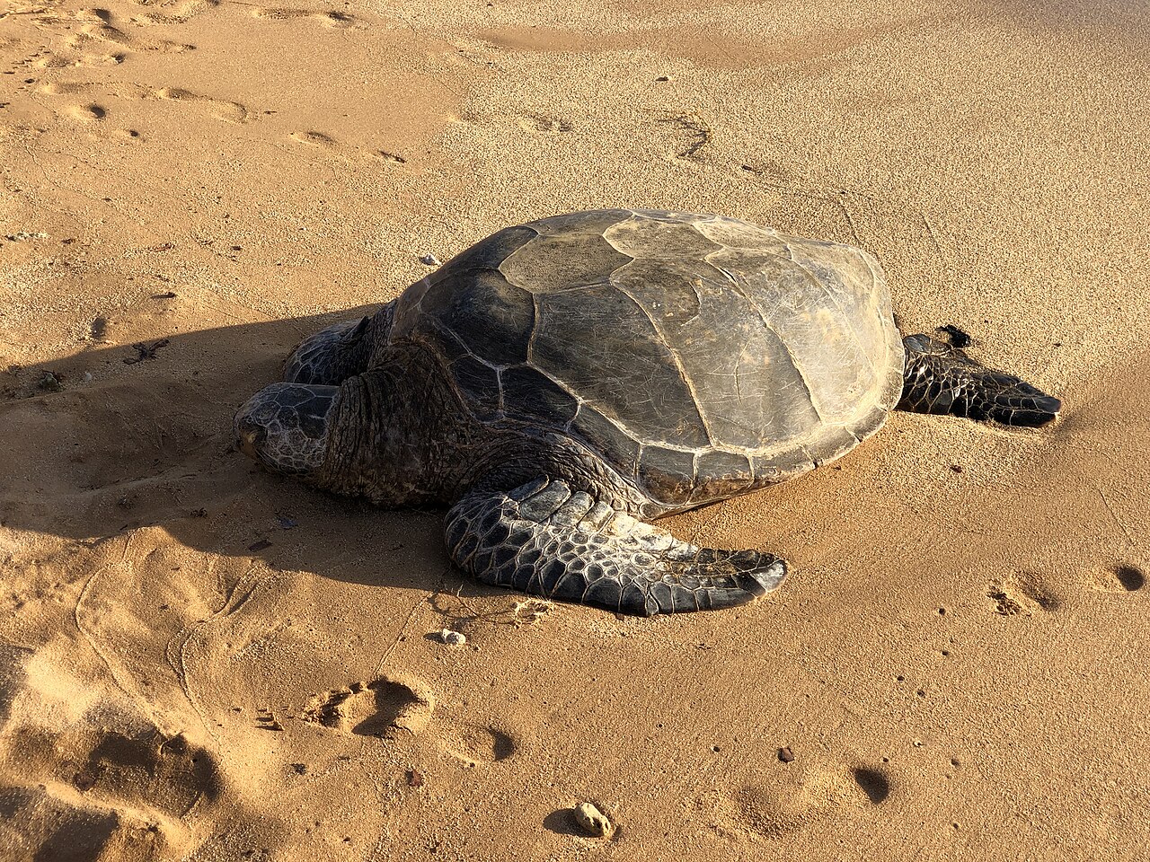
Kauai Poipu to Port Allen Downwind
Poʻipū to Port Allen, Kauaʻi, United StatesStart:
Poʻipū coastal area (approximate start)
Poʻipū coastal area (approximate start)
Finish:
Port Allen coastal area (approximate finish)
Port Allen coastal area (approximate finish)
Distance:
15km
15km
Source wind: E. Exposed south Kauaʻi coast; check reefs, surf, tides, currents, weather, marine restrictions and shore access. Approximate map trace; not for navigation.
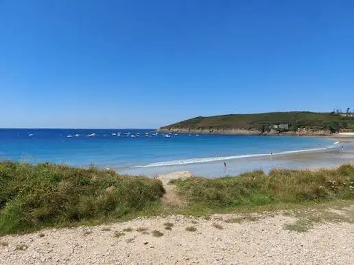
Kerhornou - Portsall | European Ocean Racing Championships 2026 SS1
Ploumoguer, FranceStart:
Plage de Kerhornou, Ploumoguer, Finistère, France
Plage de Kerhornou, Ploumoguer, Finistère, France
Finish:
Port de Portsall, Ploudalmézeau, Finistère, France
Port de Portsall, Ploudalmézeau, Finistère, France
Distance:
23.73km
23.73km
Exposed Atlantic race geometry. Check current event instructions, buoy positions, tide, swell and harbour access. Weather and race arrangements may differ from this saved version.
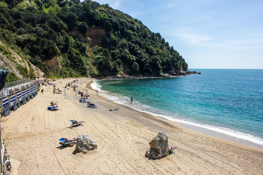
King & Queen of the Harbour Auckland
Takapuna, New ZealandStart:
Takapuna Beach
Takapuna Beach
Finish:
Auckland harbour finish (bulletin)
Auckland harbour finish (bulletin)
Distance:
23km
23km
Hauraki Gulf wind and tide.
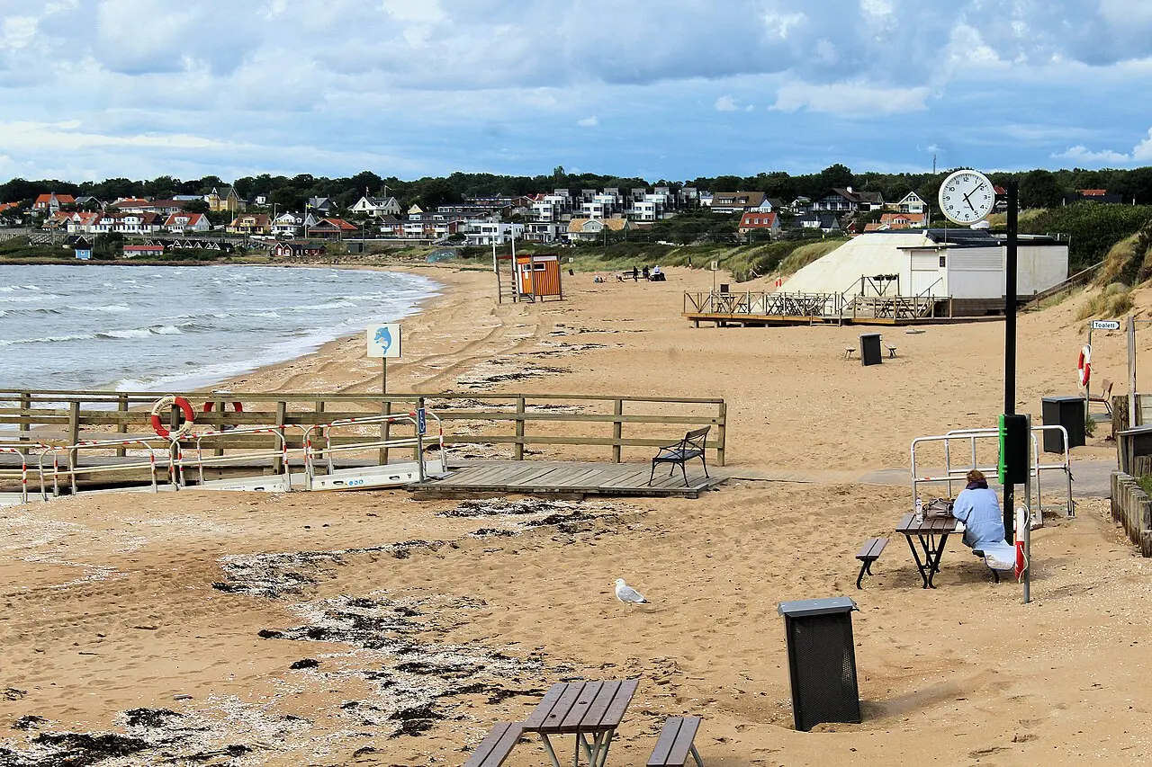
Klitterhus to Arild | Skälderviken
Ängelholm / Arild, SwedenStart:
Klitterhus beach, Ängelholm, Skåne County, Sweden (approximate start)
Klitterhus beach, Ängelholm, Skåne County, Sweden (approximate start)
Finish:
Arild shoreline, Höganäs Municipality, Skåne County, Sweden (approximate finish)
Arild shoreline, Höganäs Municipality, Skåne County, Sweden (approximate finish)
Distance:
16km
16km
Source wind: E. Exposed 16 km crossing; check wind, waves, currents, visibility, cold-water risk, traffic and shore access. Approximate map line; not for navigation.
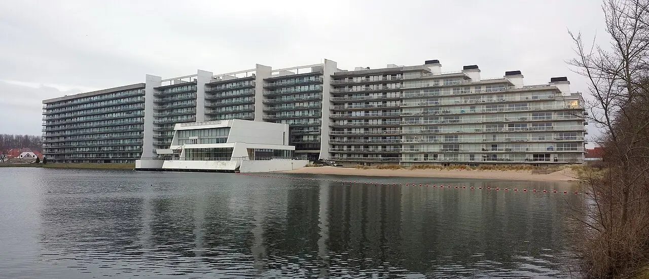
Knokke-Heist to Cadzand-Bad Downwind
Knokke-Heist to Cadzand-Bad, North Sea coast, Belgium and NetherlandsStart:
Duinbergen Beach shoreline (presumed start)
Duinbergen Beach shoreline (presumed start)
Finish:
Cadzand-Bad shoreline (presumed finish)
Cadzand-Bad shoreline (presumed finish)
Distance:
11km
11km
Source wind: W. Exposed North Sea coast; check tides, currents, surf, shipping, weather and shore access. Approximate; not for navigation.
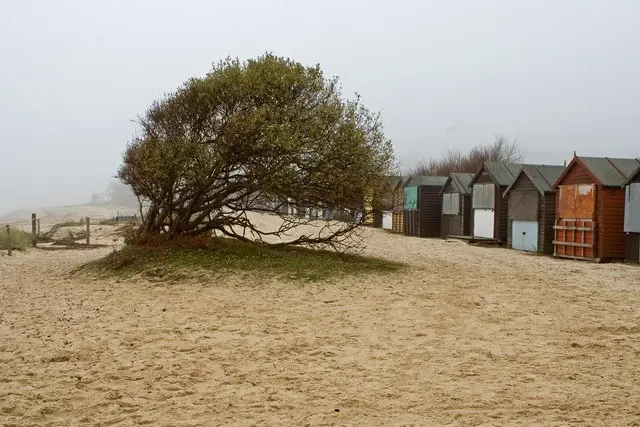
Knoll Beach to Bournemouth Downwind
Studland, United KingdomStart:
Studland coast near Knoll Beach, Dorset, United Kingdom (approximate location)
Studland coast near Knoll Beach, Dorset, United Kingdom (approximate location)
Finish:
East Cliff beachfront, Bournemouth, Dorset, United Kingdom (approximate location)
East Cliff beachfront, Bournemouth, Dorset, United Kingdom (approximate location)
Distance:
10km
10km
Source wind: SSW. Check Poole Bay swell, shipping and ferry approaches, offshore drift and surf at the landing. Beach access and route safety remain unverified. Not for navigation.