
Places
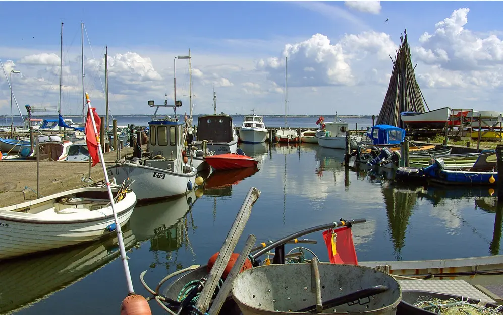
Gershøj to Bolund | Roskilde Fjord Crossing
Gershøj / Bolund, DenmarkStart:
Gershøj Harbour, Lejre Municipality, Denmark
Gershøj Harbour, Lejre Municipality, Denmark
Finish:
Roskilde Fjord shore near Bolund, Denmark
Roskilde Fjord shore near Bolund, Denmark
Distance:
8km
8km
Open fjord water with wind exposure and boat traffic. Check shallow areas, nature protections, weather and landing access at both ends. Approximate map redraw; not for navigation.
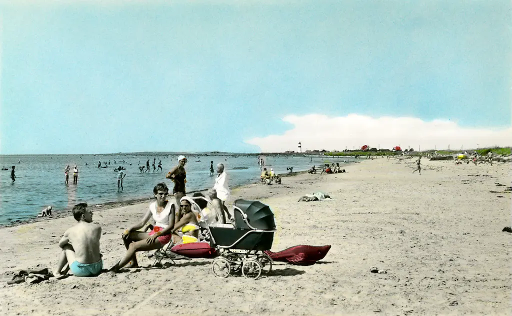
Glommen Downwind
Glommen and Falkenberg, SwedenStart:
Glommens fiskehamn, Sweden (presumed start)
Glommens fiskehamn, Sweden (presumed start)
Finish:
Långasand beach, Sweden (presumed finish)
Långasand beach, Sweden (presumed finish)
Distance:
21km
21km
Source winds: NW, NNW. Check wind, waves, currents, visibility and shore access. Endpoint-only placeholder; not for navigation.
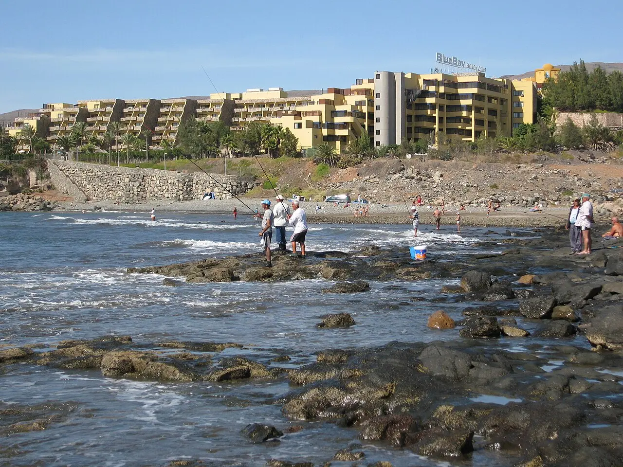
Gran Canaria Downwind
Castillo del Romeral and Playa del Cochino, Gran Canaria, SpainStart:
Castillo del Romeral harbour (presumed start)
Castillo del Romeral harbour (presumed start)
Finish:
Playa del Cochino coastal area (presumed finish; verify groyne)
Playa del Cochino coastal area (presumed finish; verify groyne)
Distance:
12km
12km
Source winds: ENE, E. Check wind, waves, currents, groynes and shore access. Endpoint-only placeholder; not for navigation.
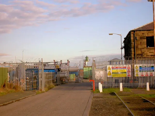
Granton Harbour to Gullane Bents
Granton to Gullane, East Lothian, United KingdomStart:
Granton Harbour shoreline (presumed start)
Granton Harbour shoreline (presumed start)
Finish:
Gullane Bents shoreline (presumed finish)
Gullane Bents shoreline (presumed finish)
Distance:
25km
25km
Source wind: West. Exposed Firth of Forth crossing; check tides, currents, shipping, wind, waves, harbour rules and shore access. Endpoint-only placeholder; not for navigation.
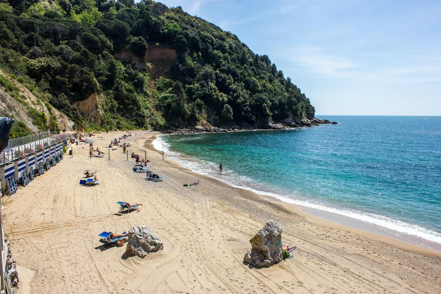
Hawaiian Sports Festival Rerik
Rerik, GermanyStart:
Rerik Baltic beach
Rerik Baltic beach
Finish:
Baltic coast finish (bulletin)
Baltic coast finish (bulletin)
Distance:
22km
22km
Baltic coastal race.
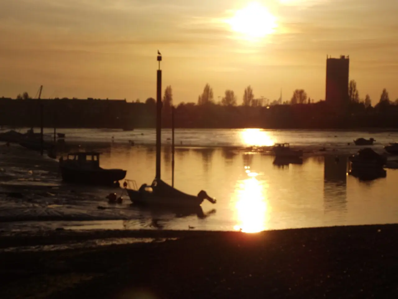
Hayling Island Sandy-West Beaches Downwind
Portsmouth, England, United KingdomStart:
Portsmouth Lifeboat Station coastal area (approximate start)
Portsmouth Lifeboat Station coastal area (approximate start)
Finish:
Lumps Fort coastal area (approximate finish)
Lumps Fort coastal area (approximate finish)
Distance:
5km
5km
Source wind: ESE. Tidal harbour/channel and ferry traffic; check tides, currents, ferry notices, wind and legal shore access. Approximate map trace; not for navigation.
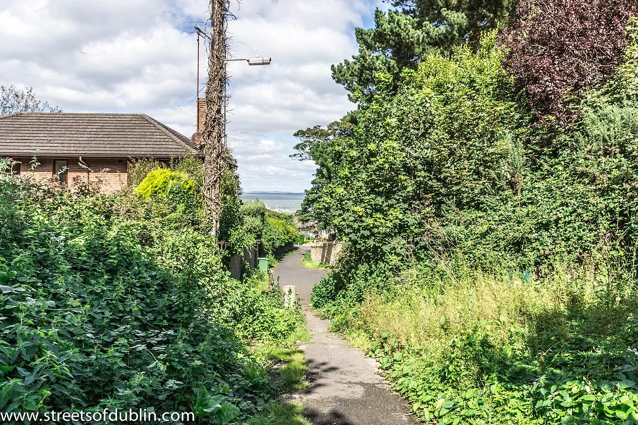
Howth
Howth, IrelandStart:
Coast west of Howth harbour, County Dublin, Ireland (approximate location)
Coast west of Howth harbour, County Dublin, Ireland (approximate location)
Finish:
Donabate beach, County Dublin, Ireland (approximate location)
Donabate beach, County Dublin, Ireland (approximate location)
Distance:
10km
10km
Source winds: S, SSE. Check tidal streams, waves, harbour traffic and alternative landings. Shore access is unverified. Approximate track; not for navigation.
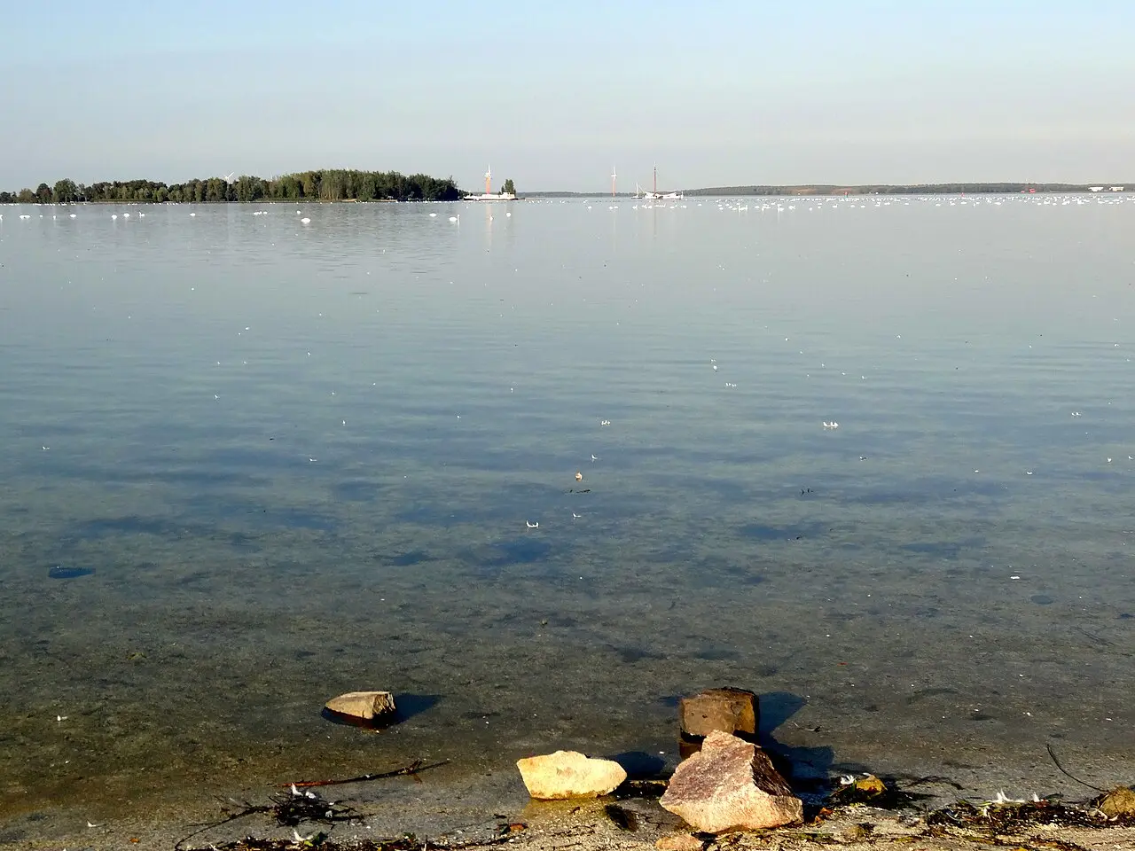
IJburg to Lelystad | Markermeer Crossing
Amsterdam / Lelystad, NetherlandsStart:
Strand Blijburg, IJburg, Amsterdam, Netherlands (approximate start)
Strand Blijburg, IJburg, Amsterdam, Netherlands (approximate start)
Finish:
Suyderseeboulevard area, Lelystad, Flevoland, Netherlands (approximate finish)
Suyderseeboulevard area, Lelystad, Flevoland, Netherlands (approximate finish)
Distance:
32km
32km
Source wind: SW. Exposed 32 km lake crossing; check wind, waves, visibility, traffic, navigation rules, water levels and shore access. Approximate image line; not for navigation.
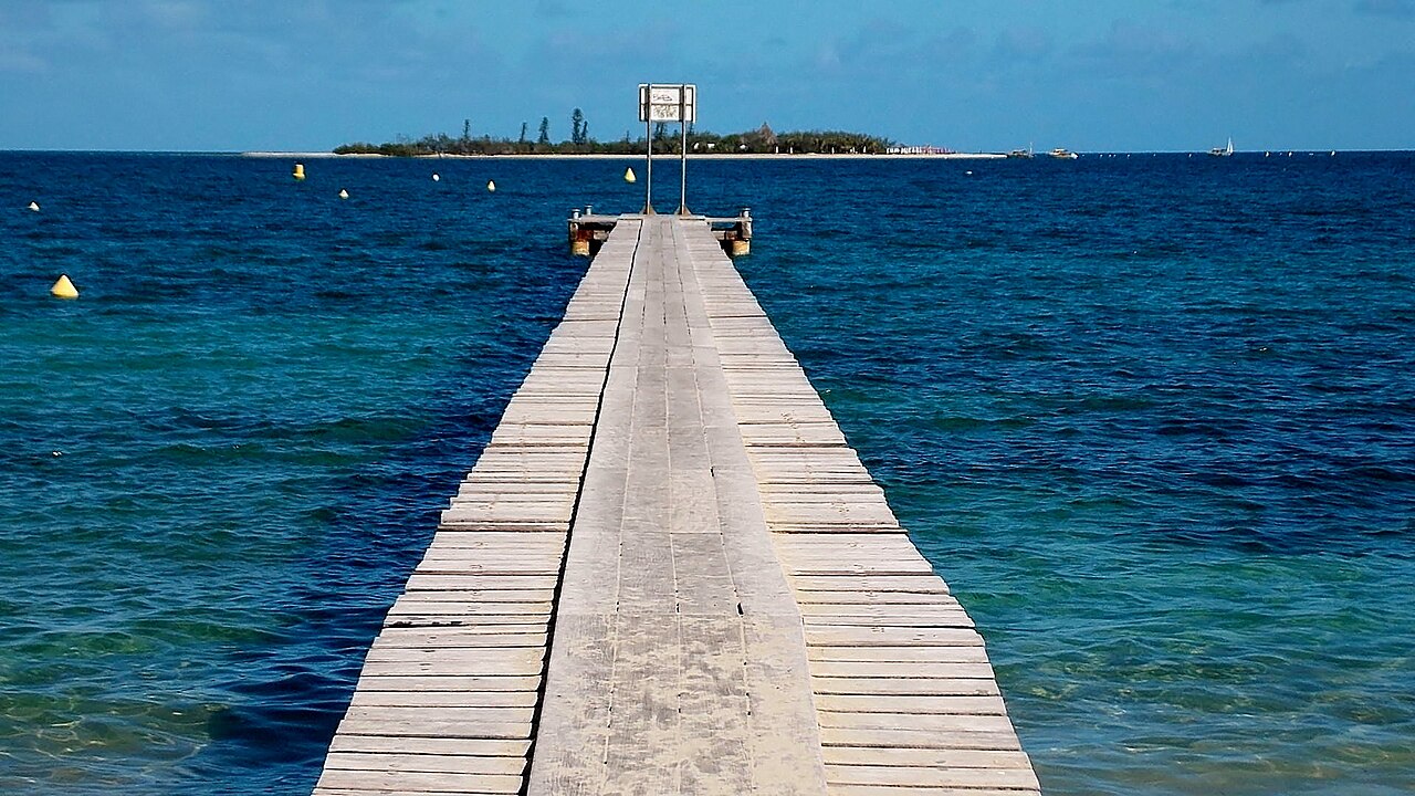
Île aux Canards to Pointe Kuendu | Nouméa Lagoon
Nouméa, New CaledoniaStart:
Île aux Canards ferry landing, Anse Vata, Nouméa (approximate start)
Île aux Canards ferry landing, Anse Vata, Nouméa (approximate start)
Finish:
Pointe Kuendu shoreline, Nouville, Nouméa (approximate finish)
Pointe Kuendu shoreline, Nouville, Nouméa (approximate finish)
Distance:
9km
9km
Nouméa lagoon crossing near reefs and a marine protected area; check reserve rules, access, currents, swell, wind and boat traffic. Approximate image trace; not for navigation.
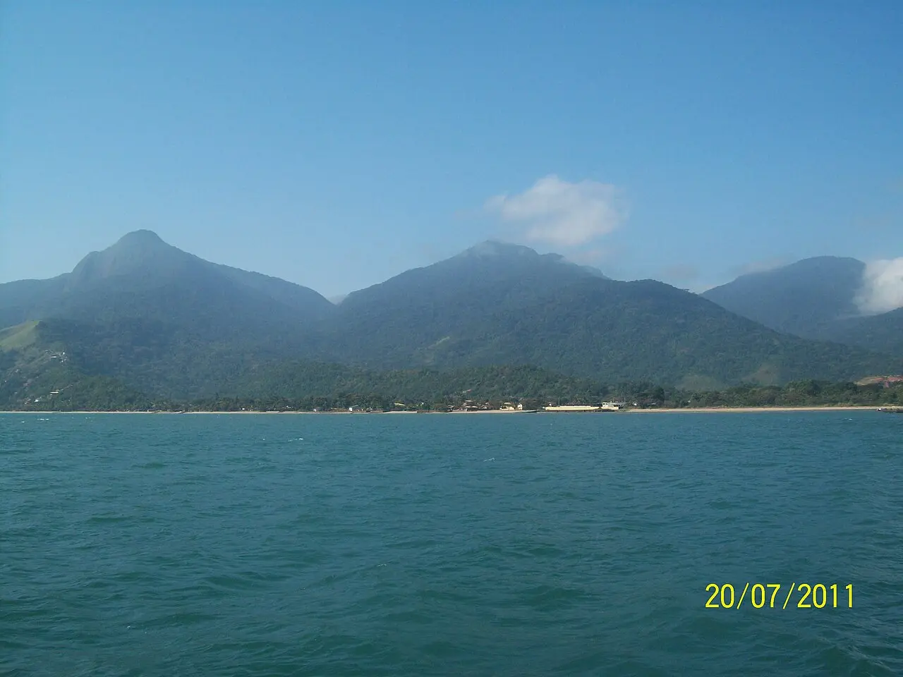
Ilhabela Downwind
Ilhabela, BrazilStart:
Praia do Veloso, Ilhabela (presumed start)
Praia do Veloso, Ilhabela (presumed start)
Finish:
Praia da Siriúba, Ilhabela (presumed finish)
Praia da Siriúba, Ilhabela (presumed finish)
Distance:
20km
20km
Source wind: SW. Check Atlantic swell, currents, visibility, protected-area rules and shore access. Endpoint-only placeholder; not for navigation.