
Places

The Miller’s Run
Cape Town, South AfricaStart:
Miller's Point (Public Slipway)
Miller's Point (Public Slipway)
Finish:
Fish Hoek Beach (Galley/Yacht Club)
Fish Hoek Beach (Galley/Yacht Club)
Distance:
11.7 km
11.7 km
SE wind may favour this direction. Check gusts, swell, cold water and surf at both ends. Suitability depends on the day and the paddler; False Bay does not guarantee shelter.

The Mistral Run (La Ciotat)
La Ciotat, FranceStart:
La Ciotat Port Vieux
La Ciotat Port Vieux
Finish:
Playa de Bandol / Six-Fours
Playa de Bandol / Six-Fours
Distance:
18 km
18 km
NW Mistral conditions can build short, steep waves. Assess wind alignment, gusts, offshore drift and landing access for the exact route variant.
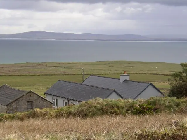
The Mullet Ireland Downwind
Blacksod and Belmullet, IrelandStart:
Blacksod waterfront (presumed start)
Blacksod waterfront (presumed start)
Finish:
Belmullet waterfront (presumed finish)
Belmullet waterfront (presumed finish)
Distance:
15km
15km
Source wind: South. Exposed bay crossing; check swell, tides, currents, visibility, traffic and shore access. Approximate map points; not for navigation.

The Ninepins to Tai Tam Run
Hong Kong, ChinaStart:
Ninepin Islands (North Ninepin)
Ninepin Islands (North Ninepin)
Finish:
Tai Tam Bay (VRC Turtle Cove)
Tai Tam Bay (VRC Turtle Cove)
Distance:
14 km
14 km
Winter winds and ocean swell can create demanding exposure. Confirm a boat-supported start, forecast, communications and the final approach. Comparisons with other routes do not establish suitability.

The Palm Cove Run
Cairns / Palm Cove, AustraliaStart:
Palm Cove Beach
Palm Cove Beach
Finish:
Port Douglas (Four Mile Beach)
Port Douglas (Four Mile Beach)
Distance:
35 km (can be done in sections)
35 km (can be done in sections)
SE trades may favour northbound travel. Check marine warnings, currents, wind strength and beach access, with a confirmed landing and support plan for the full distance.

The Puerto Colombia Run
Puerto Colombia (near Barranquilla), ColombiaStart:
Puerto Velero
Puerto Velero
Finish:
Pradomar Beach
Pradomar Beach
Distance:
18 km
18 km
NE winds are associated with the windier months. Check the actual forecast, sea state, currents and surf at both ends; seasonal expectations do not replace a day-specific plan.

The Sandringham - St Kilda Run
Melbourne, AustraliaStart:
Sandringham Yacht Club
Sandringham Yacht Club
Finish:
St Kilda Beach / Royal Melbourne Yacht Squadron
St Kilda Beach / Royal Melbourne Yacht Squadron
Distance:
10.5 km
10.5 km
S or SW winds may support northbound travel. Assess short, steep chop, gusts, cold water and traffic. Enclosed Port Phillip water is not necessarily sheltered water.

The Snapper Run
Rockingham / Fremantle, AustraliaStart:
Point Peron
Point Peron
Finish:
South Beach (Fremantle)
South Beach (Fremantle)
Distance:
22 km
22 km
Check SW wind, shipping channels, restrictions, exposure and landings. The existing path is reproduced without certifying geographic accuracy or permission to cross every section.

The South Shetland Downwind (Nelson Island to Robert Island)
Antarctic Claims (Various), Antarctic Treaty SystemStart:
Nelson Island (Harmony Cove)
Nelson Island (Harmony Cove)
Finish:
Robert Island (Mitchell Cove)
Robert Island (Mitchell Cove)
Distance:
12 km
12 km
Near-freezing water, ice, wind and wildlife require an expedition operator and dedicated vessel support. Follow operator procedures; this line does not establish day-to-day feasibility.

The Strait of Gibraltar Run (Levante)
Tarifa, SpainStart:
Bolonia Beach
Bolonia Beach
Finish:
Playa de Los Lances (Tarifa Town)
Playa de Los Lances (Tarifa Town)
Distance:
16 km
16 km
Levante and Poniente favour different directions and can accelerate strongly. Match wind to travel direction, tidal currents, sea state and landings; the two winds are not interchangeable.