
Places

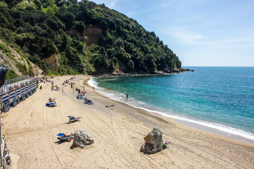
Sestri Levante
Sestri Levante, ItalyStart:
Spiaggia libera, Lungomare di Chiavari
Spiaggia libera, Lungomare di Chiavari
Finish:
Sestri Levante,
Sestri Levante,
Distance:
13 km
13 km
Match wind and swell to the stored direction towards Sestri Levante; reverse-route advice may not apply. Check harbour traffic, headland exposure and a suitable final landing.
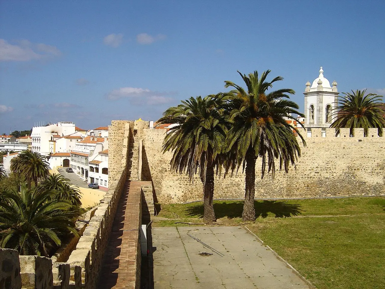
Sines to Porto Covo Downwind
Sines and Porto Covo, Alentejo, PortugalStart:
Sines coastal area (approximate start)
Sines coastal area (approximate start)
Finish:
Praia do Espingardeiro, Porto Covo (approximate finish)
Praia do Espingardeiro, Porto Covo (approximate finish)
Distance:
15km
15km
Source winds: North, NNW. Exposed Alentejo coast; check wind, waves, currents, visibility, vessel traffic, protected areas and shore access. Approximate image route; not for navigation.

Singapore East Coast
Singapore, SingaporeStart:
Changi Beach Park
Changi Beach Park
Finish:
East Coast Park (Bedok Jetty)
East Coast Park (Bedok Jetty)
Distance:
12-15 km
12-15 km
NE-monsoon winds and tides can reshape coastal chop. Review forecasts, maritime restrictions and busy shipping areas. Smaller waves do not necessarily mean lower risk.
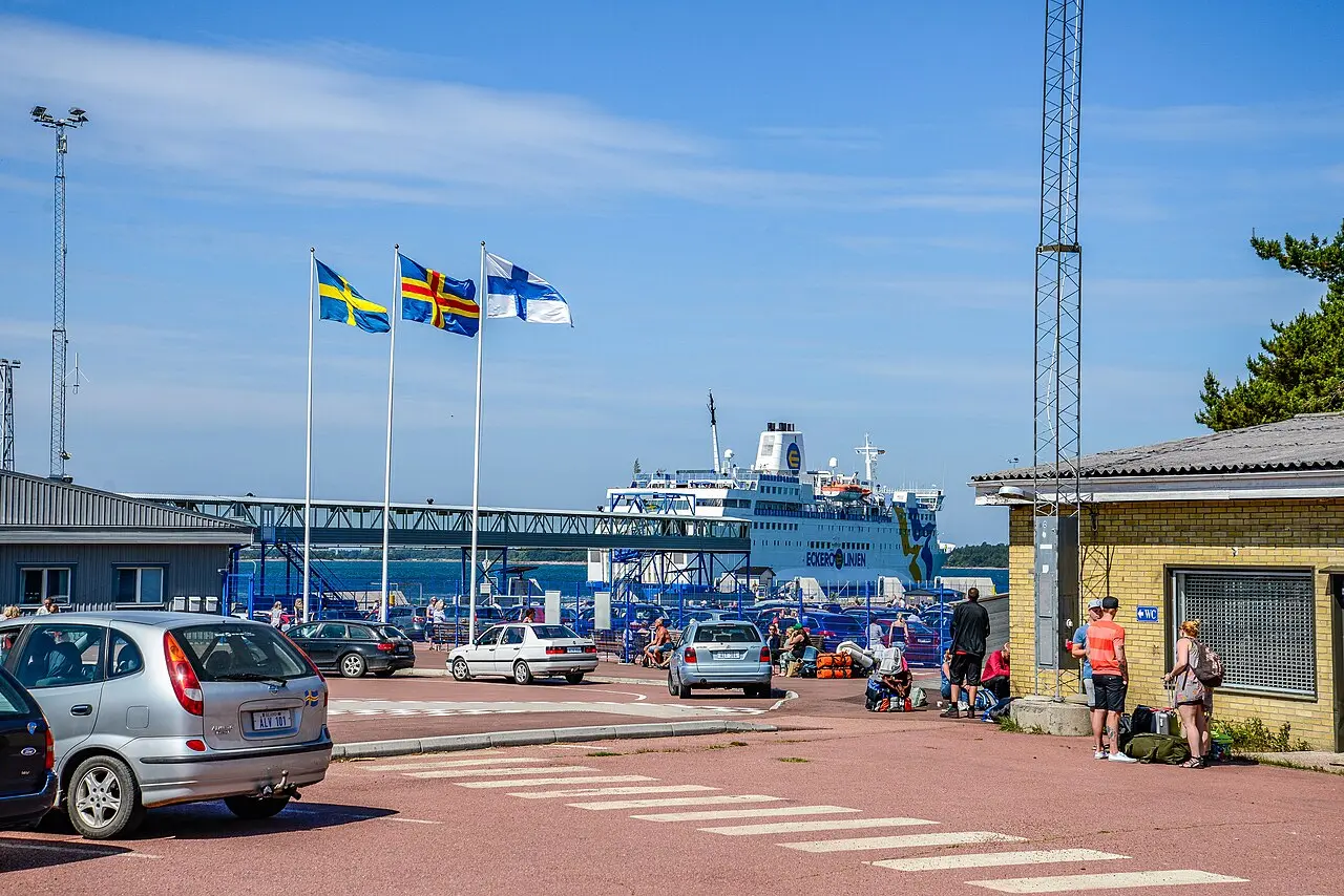
Skeppsvik to Eckerö | Åland West Coast
Eckerö, FinlandStart:
Skeppsvik waterfront, Eckerö, Åland Islands, Finland (approximate start)
Skeppsvik waterfront, Eckerö, Åland Islands, Finland (approximate start)
Finish:
Berghamn waterfront, Eckerö, Åland Islands, Finland (approximate finish)
Berghamn waterfront, Eckerö, Åland Islands, Finland (approximate finish)
Distance:
10km
10km
Source wind: S. Eckerö west coast near Berghamn ferry harbour; check ferry traffic, access, wind, waves, currents and cold-water risk. Approximate map line; not for navigation.
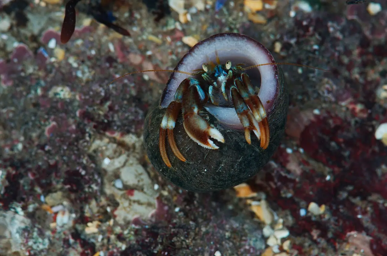
Spice Run | Seacliff to North Berwick
Seacliff to North Berwick, East Lothian, United KingdomStart:
Seacliff Beach shoreline (presumed start)
Seacliff Beach shoreline (presumed start)
Finish:
North Berwick West Bay shoreline (presumed finish)
North Berwick West Bay shoreline (presumed finish)
Distance:
8km
8km
Source wind: E/ESE. Check tides, currents, swell, shore access and protected seabird-area rules; avoid disturbing wildlife. Approximate; not for navigation.
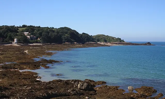
St Catherine's to La Rocque | Jersey East Coast
Saint Catherine / La Rocque, JerseyStart:
St Catherine's Harbour, Saint Martin, Jersey (approximate)
St Catherine's Harbour, Saint Martin, Jersey (approximate)
Finish:
La Rocque Harbour shoreline, Grouville, Jersey (approximate)
La Rocque Harbour shoreline, Grouville, Jersey (approximate)
Distance:
7.42km
7.42km
Jersey's east and south-east coasts have rocky reefs and strong tidal streams. Verify tide, swell, access and local restrictions. Approximate endpoints; not for navigation.
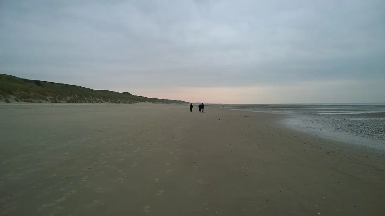
Stella-Plage - Hardelot-Plage | Côte d'Opale
Cucq, FranceStart:
Tidal foreshore off Stella-Plage, Cucq, Pas-de-Calais, France (approximate start)
Tidal foreshore off Stella-Plage, Cucq, Pas-de-Calais, France (approximate start)
Finish:
Tidal foreshore off Hardelot-Plage, Neufchâtel-Hardelot, Pas-de-Calais, France (approximate finish)
Tidal foreshore off Hardelot-Plage, Neufchâtel-Hardelot, Pas-de-Calais, France (approximate finish)
Distance:
20km
20km
Source winds: SSW, S. Exposed English Channel coast; check tides, Canche outflow, surf, weather, traffic and shore access. Approximate intertidal endpoints; not for navigation.
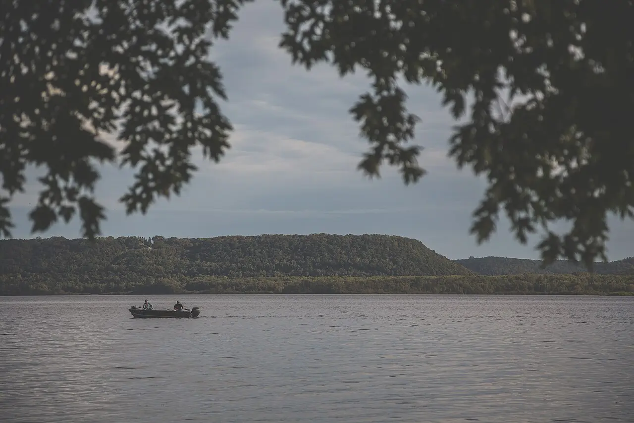
Stockholm to Maiden Rock | Lake Pepin
Stockholm / Maiden Rock, United StatesStart:
Stockholm waterfront, Pepin County, Wisconsin, United States (approximate start)
Stockholm waterfront, Pepin County, Wisconsin, United States (approximate start)
Finish:
Maiden Rock waterfront, Pepin County, Wisconsin, United States (approximate finish)
Maiden Rock waterfront, Pepin County, Wisconsin, United States (approximate finish)
Distance:
10km
10km
Source wind: S. Mississippi River lake reach; verify access, current, water levels, wind, waves, visibility, traffic and navigation rules. Approximate reconstruction; not for navigation.
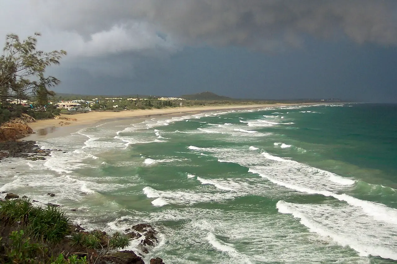
Sunny Coast
Point Arkwright / Maroochydore, AustraliaStart:
Beach edge south of Point Arkwright, Sunshine Coast, Queensland, Australia (approximate location)
Beach edge south of Point Arkwright, Sunshine Coast, Queensland, Australia (approximate location)
Finish:
Cotton Tree ocean beach, Maroochydore, Queensland, Australia (approximate location)
Cotton Tree ocean beach, Maroochydore, Queensland, Australia (approximate location)
Distance:
12km
12km
Source wind: NNE. Exposed surf, Maroochy River bar, currents and groynes require local assessment. Approximate beach-edge access; not a safe-navigation track.
Tahiti Hitia'a–Arue Downwind
Tahiti, FranceStart:
Hitia'a
Hitia'a
Finish:
Arue / Papeete coast
Arue / Papeete coast
Distance:
23km
23km
Trade-wind downwind; reef and swell. Confirm bulletin start/finish.